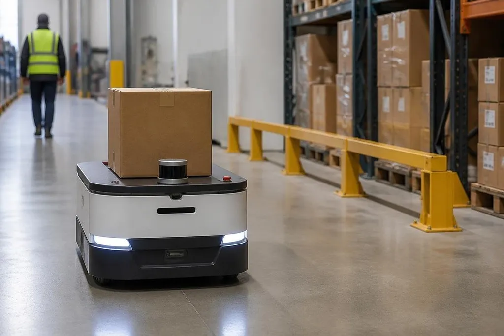
A robot moving through a warehouse, hospital, or road network needs more than a camera image. LiDAR measures distance with laser pulses, giving the robot a changing 3D view of nearby walls, objects, people, and open space. That distance data helps the robot locate itself, plan a route, and stop when something blocks the path.
- Laser pulses measure distance from the robot to nearby surfaces.
- Mapping software turns those measurements into a 2D or 3D view.
- The robot still needs other sensors for safe movement and reliable decisions.
What LiDAR measures
LiDAR stands for light detection and ranging. The sensor sends out short laser pulses and measures how long each pulse takes to return after hitting a surface. A computer turns those times into distances.
As the sensor spins or scans across its view, it creates many distance points. Together, those points form a point cloud, which is a set of measured locations around the robot. Walls appear as long surfaces, shelves form repeated lines, and a person may appear as a group of points that changes position.
This differs from a normal camera. A camera records color and texture, while LiDAR measures shape and range directly. That distance reading can help in a dark aisle where a camera has little useful light, though rain, dust, glass, and shiny surfaces can still cause bad readings.
How a robot builds a map
A single LiDAR scan tells the robot what surrounds it now. The robot also needs to compare scans over time so it can build a map and estimate its own movement. This process is called simultaneous localization and mapping, or SLAM.
SLAM matches fixed features from one scan to the next. If a robot sees the same wall corner after moving, its software can use that match to estimate the change in position. Wheel sensors and an inertial measurement unit can add movement data, helping the system handle stretches with few visible features.
The map does not need to show every surface in the building. For route planning, the robot often needs free space, blocked space, and its estimated position. Software then searches for a safe path and sends speed and steering commands to the motor controller.
A map alone can't tell the robot what an object is. LiDAR may show a box, person, or chair as a shape, but another system may need a camera or trained vision model to classify it. That split matters when a robot must treat a person differently from a fixed rack.
Where LiDAR helps most
LiDAR works well when a robot must keep a steady distance from walls, follow marked routes, or move through spaces that change during the day. A warehouse robot can use it to detect a pallet left in an aisle, update its free-space map, and slow down before reaching the obstruction.
Outdoor robots use LiDAR to read curbs, posts, vehicles, and terrain. Autonomous delivery robots may combine it with cameras, wheel odometry, and satellite positioning. Each sensor covers a different weakness, so the navigation system can compare their readings before moving.
Sensor choice matters because a lost LiDAR scan can stop a route or send a robot toward an obstacle. For a buyer comparing outdoor systems, Robot24.com's robotics coverage adds machine and deployment details before the next section looks at where LiDAR navigation fails.
The limits of LiDAR navigation
LiDAR adds cost, power use, and software work. A sensor can detect a surface without knowing its purpose, and a map can become less useful when furniture, stock, or vehicles move often. A robot also needs a way to react when readings disagree or disappear.
Glass can return weak or confusing measurements. Rain and dust can scatter laser pulses. A black surface may reflect less light than a pale wall.
The sensor's height and scan pattern matter too: a unit aimed at the floor may miss a low object, while a single horizontal scanner may miss something above or below its scan plane.
LiDAR also can't replace safe system design. Speed limits, emergency stops, collision sensors, and software checks still matter when a person steps into the robot's path.
Choosing a LiDAR setup
Before choosing a sensor for an autonomous robot, check these points:
- Scan coverage: Does the sensor see the floor, nearby obstacles, and the height range that matters?
- Range: Can it measure far enough for the robot's speed and stopping distance?
- Environment: Will rain, dust, glass, sunlight, or reflective metal affect readings?
- Map changes: Can the software update its map when pallets, people, or furniture move?
- Backup sensors: Does the robot have cameras, wheel sensors, or an inertial unit to fill gaps?
- Failure response: Does it slow down or stop when sensor data becomes uncertain?
I'd choose LiDAR as part of a sensor set, not as the whole navigation system. It gives the robot useful distance data, but safe movement depends on how the software checks that data against the rest of the machine.
The next design decision is practical: match the scan pattern and range to the robot's speed, height, and working space, then test those choices in the conditions the robot will actually face.